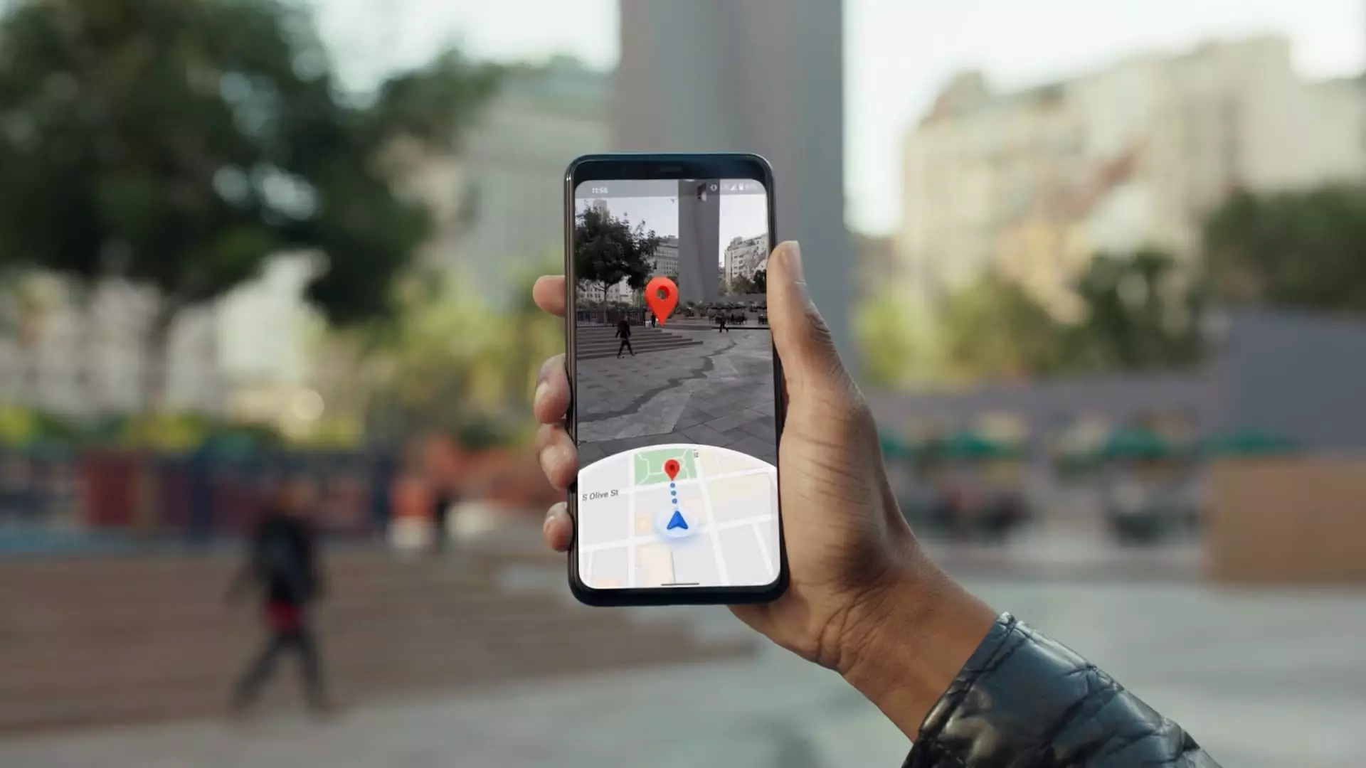
In the early 2000s, an ambitious idea emerged from the mind of Larry Page, a co-founder of Google, that would transform navigation and alter how we interact with the physical world. Inspired by the potential of digital mapping, Page envisioned the collection of real-world imagery to enhance navigation systems. This vision became a reality with the inception of Google Street View. Maria Biggs, a key technical program manager at Google, recounts moments from the project’s nascent days, emphasizing how exploratory drives with cameras fueled a burgeoning concept that would eventually revolutionize countless aspects of travel and exploration. Fast forward to today, and Google Maps, nearing its 20th birthday in February, stands as a giant in the sphere of navigation applications, boasting over 2 billion active monthly users.
Recently, Google’s mapping initiative has taken a substantial leap forward with the introduction of a versatile new camera system. Unlike previous models, which were welded into specific vehicles, this state-of-the-art technology allows for the attachment of the camera to any car, making it easier than ever to update the vast troves of spatial data Google possesses. “Now, when we need to take our cameras somewhere–even to locations like Hawaii–we just package the camera system and ship it out,” Biggs explained. This innovation could lead to area updates that have not been touched in nearly a decade, ensuring that the information provided to users remains timely and relevant.
The new camera systems are not only vital for maintaining the accuracy of existing maps but also allow for the exploration and mapping of new terrains, including countries like Bosnia and Herzegovina, Namibia, and Liechtenstein. This expansion signifies a commitment to global coverage, ensuring users from various backgrounds can access modern mapping resources.
To complement improved camera functionality, Google is harnessing the capabilities of generative artificial intelligence (AI) through its experimental tool, Gemini. This synthesis of mapping technology and AI intertwines to offer unprecedented personalization in user experience. For instance, Gemini can identify and recommend dog-friendly sports bars equipped with televisions and outdoor seating—all while summarizing thousands of reviews. The integration fosters a more enriching navigational experience as Google Maps also provides real-time alerts on traffic disruptions, weather conditions, and even alternative routes for public transportation.
The impact of Gemini extends beyond just Google Maps; it is making its mark on sister app Waze as well, enhancing the app’s ability to relay voice-activated traffic reports. This symbiotic relationship between the two navigational giants enables a seamless flow of information that enhances the user experience, promoting safer and more informed travel choices.
As Google continues to refine its mapping tools, the challenges associated with urban navigation grow more complex. The flexibility offered by apps like Waze allows users to circumvent traffic, but this can inadvertently result in increased congestion in minor roadways or neighborhoods ill-equipped to handle the extra volume. Chris Phillips, vice president of Google Geo, acknowledges the delicate balance that must be maintained between providing accurate navigation information and ensuring roadway safety. Google’s use of public road data and its collaboration with local authorities aim to create solutions that are beneficial for users while also respecting the integrity of local infrastructure.
Moreover, privacy concerns surrounding the data collected during mapping operations cannot be overlooked. Google has taken strides to address these issues by implementing stringent privacy measures, such as blurring faces and license plates in camera footage and allowing users to actively manage their location history. With changes such as storing location history on devices rather than the cloud, Google steadfastly protects user privacy while providing vital mapping services.
Despite being a cornerstone of its operations, Google’s financial disclosures concerning the Maps service remain vague. Estimates suggest that revenues from Google Maps could reach nearly $11 billion by 2023, attributed primarily to its effective advertising model. Businesses can leverage this platform to promote their services to directed audiences, underscoring the reciprocal nature of Google Maps as both a consumer tool and a commercial avenue.
In a rapidly advancing marketplace, the future of navigation holds profound potential, especially with the emergence of autonomous vehicle technologies. Google is already embracing this trend. For instance, Waymo, an Alphabet subsidiary, is piloting robotaxis and exploring how data from these operations can further enhance mapping accuracy. As robotaxi services gain traction, the cycle of collecting data to improve mapping and providing improved services will become increasingly intertwined.
The journey of Google Maps reflects a remarkable evolution from a nascent idea to a global navigational powerhouse. With continuous innovations in camera technology, AI integration, and adaptive strategies to ensure both user safety and privacy, Google is navigating toward a future where maps aren’t just tools but personalized experiences. As they continue to expand their offerings and refine their processes, the possibilities within the realm of navigation are virtually limitless.


Leave a Reply